Spatial Data. Applied Intelligence. Measurable Action.
GeoComms transforms drone imagery, geospatial data and field evidence into practical intelligence for agriculture, infrastructure, natural resources and organizational decision-making.
What We Do
Three Integrated Services. One System.
SERVICE 01
AppliedSpatial
We process drone and remotely sensed imagery into accurate maps, terrain models, point clouds, vegetation indices and decision-ready geospatial information.
- RGB and multispectral imagery
- Orthomosaics
- DSM and DTM
- Point clouds and 3D models
- Vegetation-index processing
- Change and anomaly detection
- GIS-ready outputs
- Custom analytical reports
SERVICE 02
GIS-Run Precision Agriculture
We combine aerial screening, GIS analysis, QField-guided field validation and professional interpretation to help farms locate problems, prioritize intervention and monitor results.
- Plantation and farm mapping
- Crop-condition screening
- Management-zone development
- QField-guided ground validation
- Agronomist-ready pre-diagnostic reports
- Intervention mapping and work orders
- Crop ICU monitoring
- Recovery and outcome measurement
SERVICE 03
Applied AI
We develop AI systems that connect organizational knowledge, operational data and existing applications to improve analysis, automation and decision support.
- Private organizational AI
- Document intelligence
- Knowledge assistants
- Workflow automation
- GIS and AI integration
- Custom decision-support systems
What We Do
Three Integrated Services. One System.
Use one common method across the three services. This section explains that the three services belong to one GeoComms system.
OBSERVE
Collect imagery, spatial data, documents or operational records.
02
PROCESS
Convert raw inputs into structured and usable information.
03
UNDERSTAND
Identify patterns, anomalies, risks and priorities.
04
VERIFY
Validate important findings using field evidence or professional review.
05
ACT
Translate results into recommendations, work orders or decisions.
MEASURE
Monitor results and build institutional knowledge.
Photogrammetry
Geospatial Imagery, Processed into Actionable Information
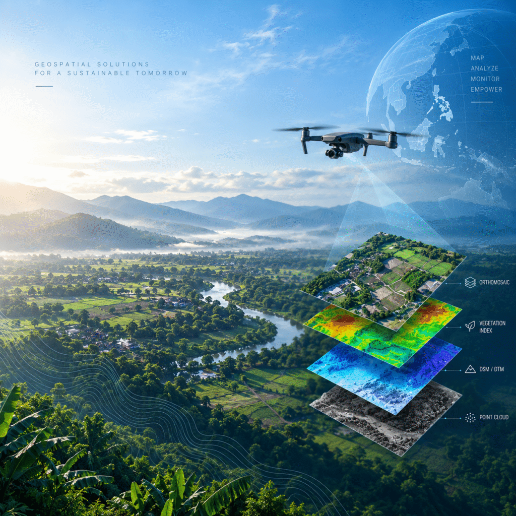
Upload your imagery or geospatial dataset. AppliedSpatial examines, processes and converts it into reliable GIS-ready products and analytical outputs.
- Orthomosaics
- Digital Surface Models
- Point Clouds
- Vegetation Indices
- Change Detection
- 3D Models
- GIS-Ready GeoTIFFs
- Analytical Reports
Field Validation Advantage
Aerial Intelligence Strengthened by Ground Evidence
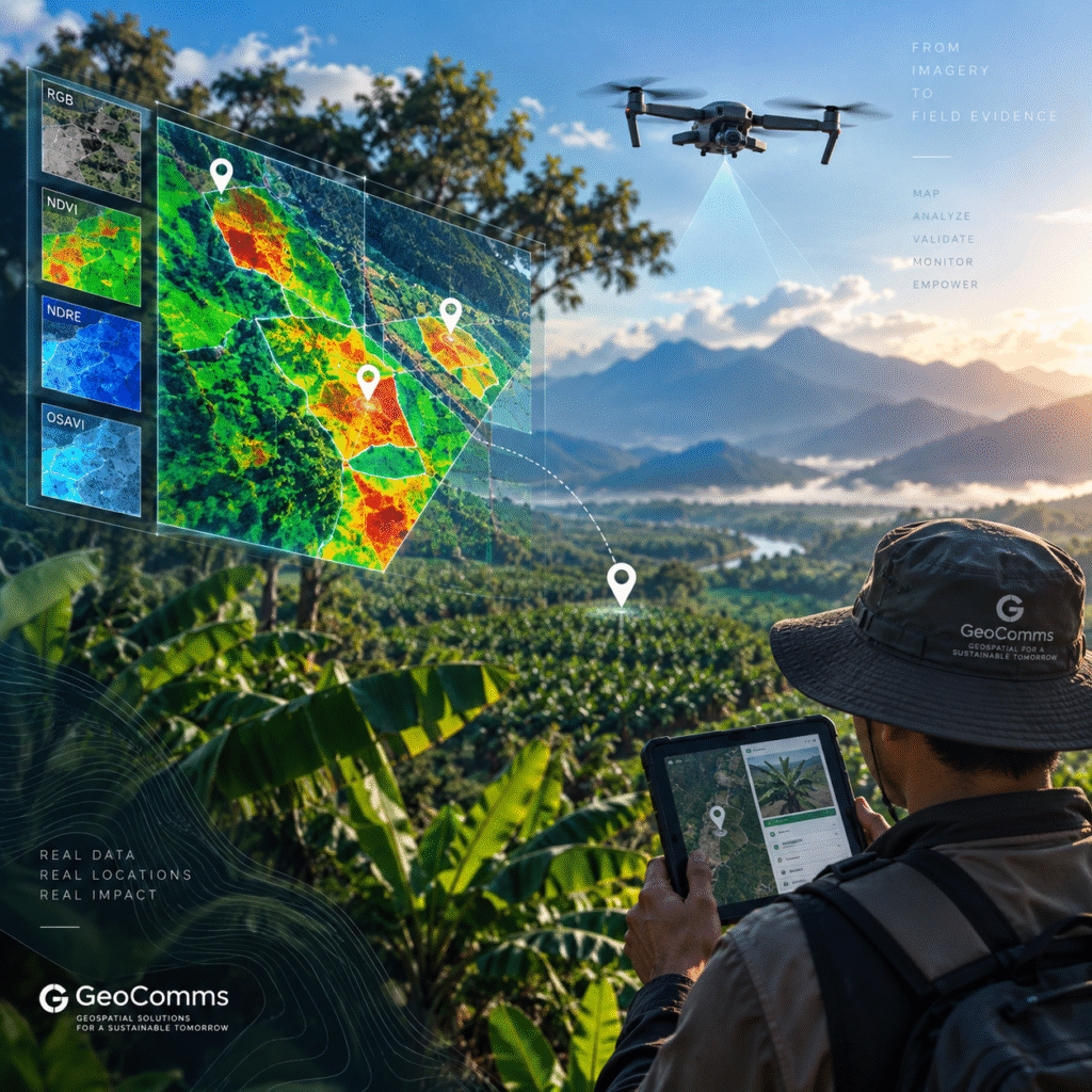
AppliedSpatial identifies where abnormal conditions are occurring. QField then guides field teams to those locations and captures geotagged photographs, symptoms, observations and samples. This gives agronomists stronger evidence for narrowing probable causes and prescribing appropriate action.
OBSERVED
Directly recorded in imagery or field inspection.
INDICATED
Probable interpretation supported by available evidence.
CONFIRMED
Validated by an agronomist, laboratory or qualified professional.
About GeoComms
GeoComms GIS Solution, Inc.
A Davao-based geospatial and applied-intelligence company transforming imagery, field observations and organizational data into practical operational decisions.
- Integrated imagery, GIS, fieldwork and AI
- Sensor- and drone-platform flexibility
- QField-enabled ground validation
- Local processing and technical capability
- Professional partner network
- Repeatable monitoring and measurable outcomes
- Open-source geospatial foundation
Start with One Priority Area and One Measurable Problem
Submit an imagery-processing project, request a crop-condition assessment or discuss a purpose-built AI solution.
“AppliedSpatial processes the evidence, Precision Agriculture turns it into field action, and Applied AI strengthens analysis and organizational decision-making.”